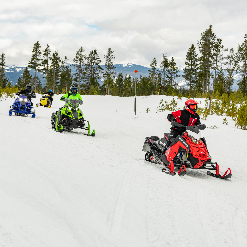
Recreation Sites and Trails BC and the Canadian Avalanche Centre (CAC) are equipping every one of B.C.’s 79 non-commercial snowmobile areas with the ATES system as part of a three-year ATES Terrain Rating Project expected to wrap up this December.
ATES—which stands for Avalanche Terrain Exposure Scale—is a terrain rating system designed to “assist groups in choosing the appropriate terrain for winter backcountry travel,” says Parks Canada information. “These ratings describe the level of commitment, and exposure to avalanches that different areas offer.”
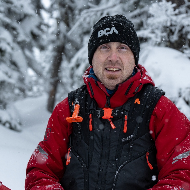
The system was developed in 2004 in response to an accident that killed seven students in Rogers Pass that same year. The government commissioned a review of public avalanche safety systems, which resulted in a recommendation to develop a rating system for backcountry travellers, advising about the nature or severity of the terrain regardless of the avalanche danger, said Ian Tomm, executive director of the CAC.
“Parks Canada developed a scale that successfully gave users the ability to say, ‘I don’t know a lot about the risks of a particular area, or I don’t want to accept those risks, so I will only do the simple trips,’ ” he said. “Or, ‘I have lots of experience or mentorship and can go out on the advanced terrain.’ ”
But the program wasn’t widespread in the beginning. Then, the winter of 2008-2009 resulted in an unprecedented number of avalanche fatalities—19 snowmobilers were killed that season. In the spring of 2010, the Boulder Mountain avalanche hit a group of anywhere between 50 and 150 people—the numbers are still unclear.
The combination of these accidents sparked the collaboration of several groups including the CAC, the BC Coroner Service, Emergency Management BC, and several others.
“We said, there has to be something we can do,” said Tomm.
The group looked at ATES and thought its widespread implementation was the best way to protect as many backcountry travellers as possible.
“With Recreation Sites and Trails BC funding we are systematically rating all 79 snowmobile areas in B.C.,” said Tomm.
The sites have been monitored and mapped by satellite and on site to rate the terrain with one of three designations: Simple, Challenging or Complex. Each is represented on a map with colour overlays, allowing riders to better plan their routes, considering this data, the forecast, experience and other factors.
“They can decide if they don’t want to take a risk they can stick to green or blue, or if the avalanche risk is low today then maybe they can try the black,” said Tomm.
Avalanche fatalities have been steadily rising over the past 10 years. As the technology gets better, the accident rate gets higher, said Tomm.
“There is one characteristic that is evident in every accident, and that is that the riders were unaware of the nature of the terrain they were travelling in,” he said. “They didn’t know they were in avalanche terrain, or they knew but they didn’t know the severity.
“Are we expecting a measurable impact? Of course. It will take time before we can quantify the results, but we are changing people’s behaviour, and it’s a start,” he said.
Feedback from snowmobile clubs has been wonderfully positive, said Tomm.
“There’s the old cliché that a picture is worth a thousand words,” he said. “You can talk until you’re blue in the face about snow safety and shear tests and mechanics, but if you can show a picture of the terrain with colour overlays in green, blue and black, the light goes on.”
The program has caught on so well that backcountry ski clubs are now asking that their recreational areas receive the ATES system.
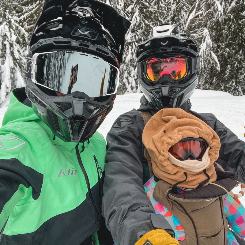
Anyone travelling in the backcountry needs to check forecasts daily, keeping in mind the weather can change by the hour. Tomm recommends a minimum two-day avalanche safety awareness training course (ASC 1) and the basic essentials in equipment.
“We have 270 licensed instructors across Western Canada who teach the course to 7,000 students per year,” he said. “Backcountry travellers should be carrying a collapsible probe, receiver and a shovel, and know how to use them. And if they are out riding and haven’t checked the forecast, there’s something wrong.”
The ATES Terrain Rating Project is the largest avalanche awareness project for public safety ever undertaken in the world.
“No one has ever done this,” said Tomm. “It’s a feather in the cap for Canada, because it’s looked at around the world as an example.”