Trail maps. Paper or digital? Although great, paper isn’t always the most viable option due to cost. Plus, a digital map can go with you wherever you go and can be edited on the fly.
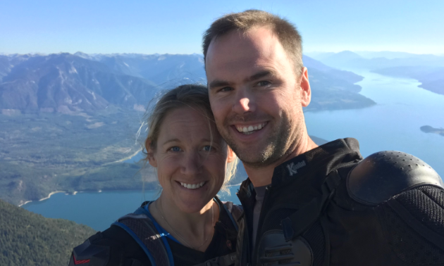
Trailforks—traditionally a mountain biking trail map app—is now busting its way into the backcountry lexicon in a big way, thanks to guys like Matt Elliott, trail director for the Revy Riders Dirtbike Club in Revelstoke, B.C.
“Trailforks is just beginning to branch out from the mountain bike world, and I think that this is big news for all backcountry users,” said Elliot. “Being a mountain biker and user of Trailforks, I realized that our dirt bike club should get our trail out in electronic formats.”
As trail director for the Revy Riders, Elliott is responsible for maintaining trails, organizing work groups and mapping trails via GPS.
“The project that I’m most excited about is getting all of the trails within our club’s tenure mapped and posted to Trailforks for everyone to use,” Elliott said. “Not only is Trailforks a wonderful mapping and editing tool, it’s also a wonderful trail maintenance tool where any rider can take pictures and make comments about areas that need attention.”
Charting new territory
To begin mapping Revelstoke’s dirt bike trails, Elliott compiled most of the trail GPS data from Front Counter BC and supplemented that by hiking and riding all of the trails that were missing. Elliott organized Revelstoke trails by difficulty level using a small trail-building website called Caltopo.
“It’s an amazing free tool for trip planning and route finding,” Elliott said. “Using this tool, what started out as a mess began to take shape.”
From there, Elliott was able to transfer the data to Trailforks, an easily accessible trail mapping network.
“Trailforks provides a ride log feature that displays faint lines where trail users are riding,” Elliott said. “This is an amazing feature that allows for editing and drawing existing trails without even leaving the house.
“Another feature that I am hoping to take advantage of as the trail director is the reporting feature, which allows trail users to report a blocked trail due to a blown-down tree or a washout. We can update the status of trails and post warnings about hazards easily, which promotes our safety culture within our sport.”
In the trenches and up on mountains
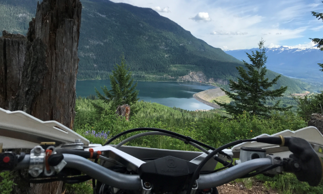
In the meantime, Elliott is focused on mapping lower elevation south-facing trails to get the riding season started earlier. Once a rough trail route is decided upon, the next step is to go out and bushwack through the undergrowth to take a look at possible routes while flagging with surveyor tape along the way. Once a line is chosen, it is followed, flagged more carefully and tracked using GPS.
“When creating trails or altering trails, it is important to consider all the natural features
and stay far away from environmentally sensitive areas,” Elliott said.
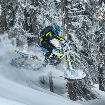
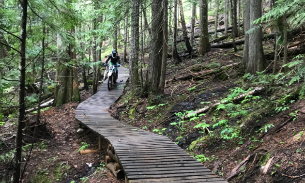
Some of Revelstoke’s most popular trails are Kick Start, Smooth Operator, Ego Trip, The Klim and Rowland’s Revenge. The machine-built, single-track trails vary from green to expert in that order. Aside from the variety of terrain to choose from, the sublime scenery offers a nice mix of landmarks to gaze upon.
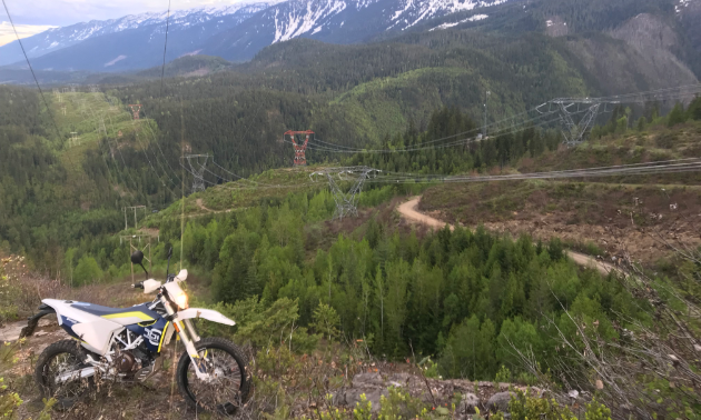
“Some of the nice things about our riding area’s location are the viewpoints,” Elliott said. “Our trails offer beautiful views of the Columbia Valley, Mount Begbie, Lake Revelstoke and the Revelstoke Dam.”
Accessibility for everyone
The addition of Trailforks to Revelstoke riders’ arsenal of resources has been a welcome addition to all matter of recreationalists in the backcountry, whether on dirt bike, mountain bike, ATV or snowmobile.
“Trailforks is so useful for riders to plan routes, link up trails, split up and set meeting points, and post photos and comments,” Elliott said.
For any trail directors looking to take advantage of software such as Trailforks, Elliott suggests getting in contact with other clubs who have experience in mapping their trails.
“When I initially decided to make these geo-referenced maps, I reached out to the Okanagan Trail Riders Association,” he said. “They had just released all of their trails with the Avenza app. Their president was really helpful. Other trail directors shouldn’t be afraid to reach out to the Revy Riders or other clubs. All of us have similar passions.”