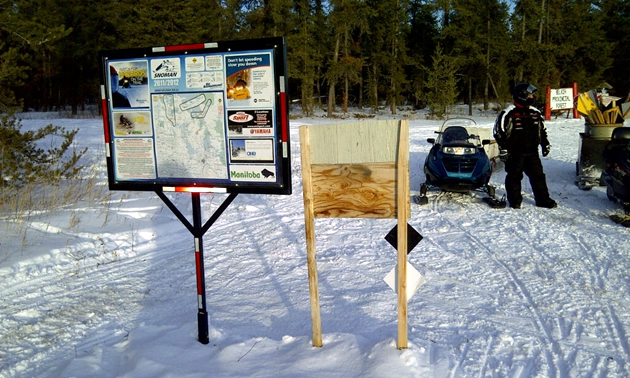
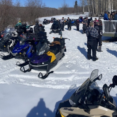
On November 3rd at the 8th Annual Snoman Congress (Snowmobilers of Manitoba Inc.), president Alan Butler and GPS co-ordinator Noël Martin introduced a new interactive map of Manitoba snowmobile trails.
“There were over 100 people at the session introducing the new map, and it was enthusiastically received with many positive comments,” said Martin. “We welcome this great addition to the services provided by Snoman to the snowmobilers of Manitoba.”
“For many years Snoman had individual club maps that were updated manually on a weekly basis,” Martin said. “Clubs were required to send in weekly trail condition reports, which were then added by Snoman office staff to the website. It was a labour-intensive process and clubs didn't enjoy sending in reports. We also needed to combine all the individual club maps into one official provincial map.”
The association has had many concerns and complaints about the old map system, which consisted of a single, zoomable picture. Snowmobilers voiced their desire to be able to plan trips, determine mileage between shelter and trail points, and to have specific service locations identified.
In addition to those suggestions, they wanted to be able to look at one map and determine what trails are open, what trails were being worked on and the status of those trails.
“After discussions with neighbouring provincial snow groups, it was decided that we contract the Evouala/MapGears company to produce our new web-based map,” Martin said. “The map has many features, showing local restaurants, gas stations and accommodations along the snow trails. It will also advise snowmobilers whether a trail has been recently groomed (under five days ago) or over five days since the last grooming.”
All Manitoba groomers are equipped with Solara GPS tracking units, which send a location data point every two minutes via the Iridium satellite network to the Solara servers. The data is then relayed to the MapGears site, appearing within 24 hours on the Snoman website map.
The new interactive trail map provides users with the following features:
- The ability to view the status of all trails on one provincial map
- The ability to zoom into areas and regions of the map to access greater detail
- The ability to obtain distances between points
- The ability to select icons, enabling snowmobilers to determine what services a community offers such as gas, food and accommodations
- The ability to select different club icons, giving sledders information about the club and providing links to the club’s website and Facebook page.
“Its best feature, however, is the ability for someone to plan a trip,” said Martin. “One only has to enter a start point and an endpoint and the map will suggest the shortest distance to travel the trip.”
The map will soon be available as an app for smartphones and devices, both IOS and Android. For more on the association’s new map, or to check it out for yourself, visit www.snoman.mb.ca.


