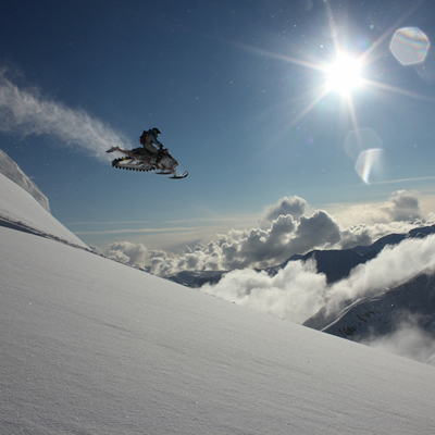
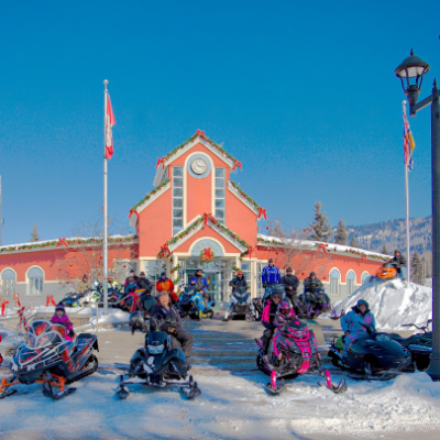
The Rocky Mountain foothills of Tumbler Ridge offer up exciting trail rides and breathtaking scenery; here, challenging hillclimbs, deep bowls and wide open play areas call your name. Three of Tumbler Ridge’s main riding areas—Core Lodge, Wolverine and Thunder Mountain Lookout—are within 20 kilometres of town, with easily accessible staging areas and toasty warm-up cabins for day-long adventures. There are no trail fees in place, but the Tumbler Ridge Ridge Riders snowmobile club sells memberships and the fees go towards trail grooming.
Core Lodge riding area
The Core Lodge trailhead is at the Core Lodge cabin, which was constructed by the Ridge Riders from an old steel exploration shed. The cabin, open to everyone, has cozy seating areas and fireplaces to warm up by. The Core Lodge area's three must-visit spots—Windy Ridge, Summit Meadows and Back Meadows—offer mountain vistas and challenging terrain for intermediate to advanced riders.
Windy Ridge: This rugged alpine area contains exciting climbs and bowls amidst the mountain peaks. Toboggan Hill and the Super Bowl provide expert riders with a real test for their high-powered machines, and terrific views can be enjoyed by families and intermediate riders. Access is from the base of the Terminator or up a draw off the main trail. One exit is down the draw called The Chute—an exciting bobsled-like run. Caution should be used as this is an avalanche area.
Summit Meadows: This fun play area is just off Windy Ridge. To get there, continue on the trail to Back Meadows or Kinuseo Falls.
Back Meadows: These large, high meadows with fabulous play areas are a favourite spot for groups wanting to test their machines. The access trail from Five Cabin Creek can be difficult and requires at least intermediate skills. The size of the area is deceiving, so keep track of your party to avoid getting lost.
- Elevation: 1,000 - 2,000 metres
- Driving directions: Head 19.5 kilometres east from the intersection of Mackenzie Way and Highway 29. Turn right onto the Core Lodge Road and follow it until it forks to the Peace River Coal mine site. The staging area is 200 metres down on the right.
- Grooming season: December to mid-April
- Difficulty level: Intermediate/advanced
Wolverine riding area
Wolverine is a backcountry sledder's dream, with lots of trails, tree riding, a variety of bowls and amazing alpine views. Most of the riding is for experienced snowmobilers and there is some sidehilling to access the area, so beginners and intermediate riders must take caution. The trails are not marked and if you are unfamiliar with the area a guide is recommended. Some extreme avalanche conditions exist in Wolverine.
- Elevation: 1,000 - 2,000 metres
- Driving directions: From the intersection of Mackenzie Way and Highway 29, head west towards Chetwynd for 9.7 kilometres, then turn left onto the Wolverine Forest Service Road (FSR). Immediately follow the road to the left and take the first right, which is about 350 metres from the highway turnoff. Follow the Wolverine FSR past the Wolverine Mine coal load-out for three to six kilometres, depending on the road ploughing. Park on the side of the road, and try to keep the pullouts clear of parking so trailers can turn around.
- Distance from the community: 16 kilometres
- Grooming season: Occasionally groomed, depending on volunteers, December to mid-April
- Difficulty level: Advanced
Thunder Mountain Lookout
The ride to Thunder Mountain Lookout is an excellent day trip along a winding mountain trail—easy for families and beginners. The trail leads up along a ridgeline to an abandoned forestry lookout tower, where a panoramic view all the way to Alberta awaits.
- Elevation: Trailhead: 1,000 metres; lookout: 1,430 metres
- Driving directions: Take Highway 52 towards Dawson Creek. Trail access is just a few kilometres from town off the Bearhole Lake road.
- Grooming season: December to March
- Difficulty level: Beginner


