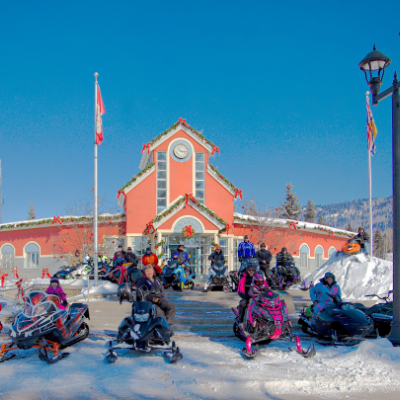
Tumbler Ridge, a town of nearly 3,000 people, is located in the foothills of the Rocky Mountains in northeastern B.C.
The community is blessed with six months of sledding; in fact, when I contacted local snowmobilers for this story in mid-November, there was snow on the ground and the temperature had already dropped to -30 C a couple of times. Don’t let that scare you away, though, because it isn’t always freezing cold there. The average temperature throughout the winter months ranges from -5 C to -11 C, according to The Weather Network.
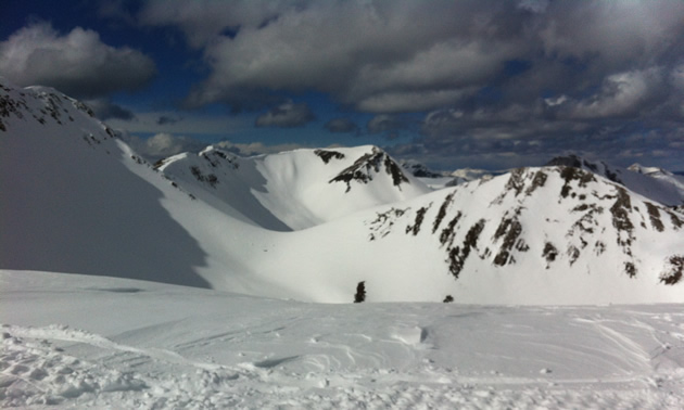
More about the riding opportunities—there are six separate zones for sledding around Tumbler Ridge, and the terrain in the area offers casual to extreme rides. Babcock Mountain, Bullmoose and Wolverine are the most popular places to snowmobile.
Babcock Mountain
Of the three areas, Babcock Mountain in the Core Lodge riding area is described by locals as the most beginner-friendly, or family-oriented, place to ride. There is a cabin at the parking lot and from there, sledders can follow a wide trail that takes them right into the alpine to an area where hillclimbing events used to take place. Here, they can find a warm-up shelter and follow trails leading into popular play areas—such as the Super Bowl, Arctic Cat Meadows, Roman Mountain, Hidden Valley and the Back Meadows.
Jeff Cool is from Tumbler Ridge and he has been sledding in the Babcock area for several years. As a word of caution, Cool said that the Super Bowl and the hill facing the warm-up shelter are very active avalanche areas, so sledders need to be extra vigilant when riding there.
Driving directions: Drive south of Tumbler Ridge for about 30 kilometres towards the Peace River Mine Road and turn right off the highway. There is a place to park about 14 kilometres up the road at the lodge, which is on the right-hand side of the road.
Difficulty level: Easy to moderate
Bullmoose riding area
Visitors may also check out the Bullmoose riding area on their first visit to Tumbler Ridge. Bullmoose is about 45 minutes from town. Trails in the Bullmoose area are not marked, however, and it takes about half an hour to reach the main area from the spot where other sledders usually park and unload their sleds. Family riding can be found in the Bullmoose area.
Driving directions: Drive 30 minutes along the highway to Chetwynd and turn left towards the old Bullmoose Mine. From there, it’s about 15 to 20 kilometres to the parking spot.
Difficulty level: Easy to moderate
Wolverine riding area
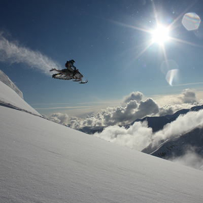
Wolverine is a large sledding area that offers spectacular views and a variety of challenging opportunities for advanced alpine riders. According to the locals, it takes about 40 minutes to get from the parking lot to the warm-up shelter, and another 10 minutes to gain access to numerous cutblocks and scenic vistas. Albright Ridge is a popular destination for sledders in the Wolverine riding area.
Snowmobiling in the Wolverine riding area is not recommended unless you are accompanied by other riders who are familiar with the terrain. According to Cool, there is a spot on the way to Albright Ridge where snowmobilers are required to cross a steep sidehill. He said that some who have tried to cross this section have ended up at the bottom of a 75-foot embankment.
Driving directions: To reach the Wolverine riding area, head out of Tumbler Ridge towards Chetwynd and then hang a left and go towards Western Canadian Coal’s Wolverine Mine. The trails aren’t marked, so it’s kind of up to you to find a place to unload and ride into the area.
Difficulty level: Moderate to difficult