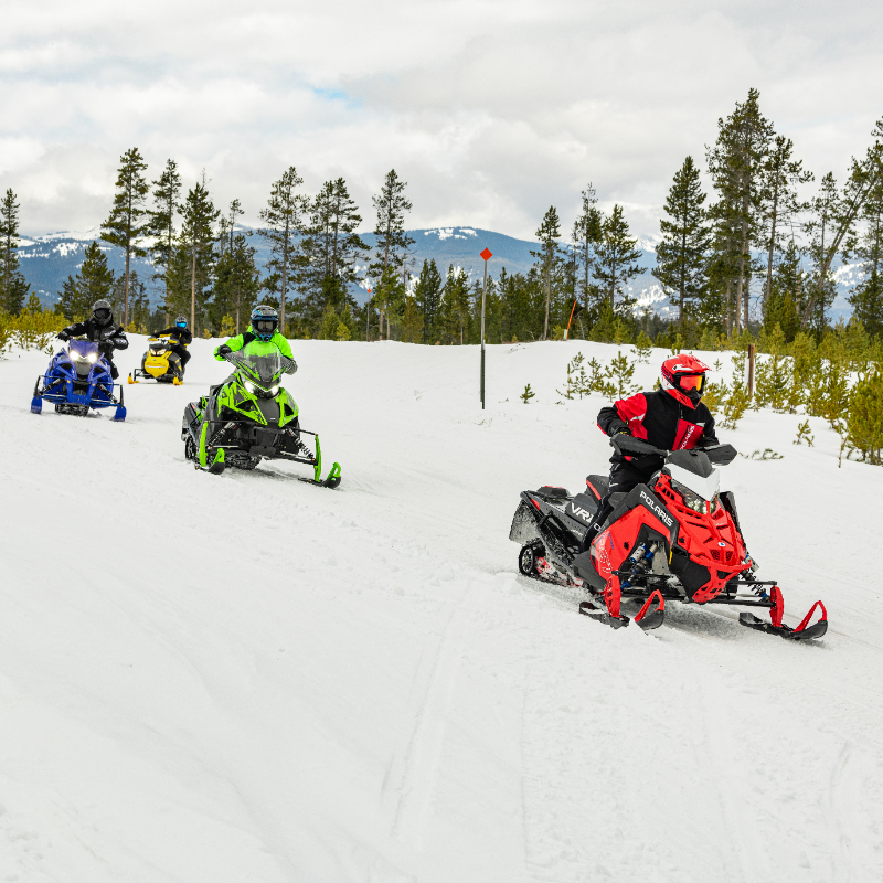
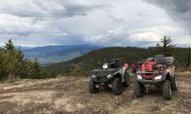
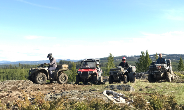
Do you really know how to use your GPS (Global Positioning System) device? With a variety of uses, it’s a handy tool to keep in your off-roading arsenal. If you find a stellar—albeit relatively unknown—fishing spot, you’ll want to track that in your GPS so you can find your way back. Plus, you’ll be able to share that info with your friends so that they can enjoy the new find as well. When things go awry, the GPS is incredibly important to find your way back to civilization and also serves as a tracking device to send help to you if you get into an accident.
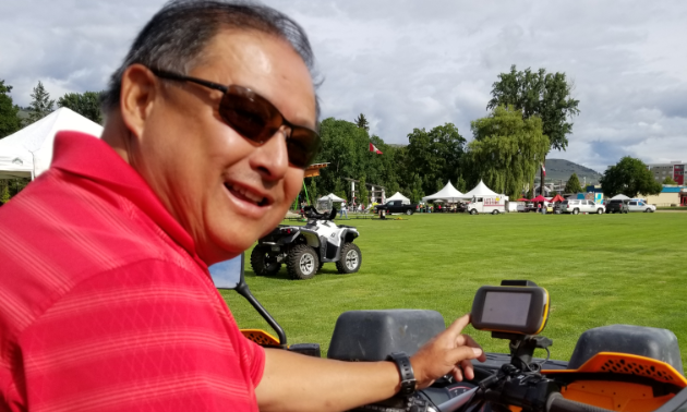
That being said, what are the nuts and bolts of a GPS and how do backcountry enthusiasts get the most out of these gadgets? Grahame Go, Vernon ATV Club member, GPS training course leader and former air deputy for Civil Air Search and Rescue in Vernon, B.C., shares his extensive knowledge on the subject so you can enjoy the great outdoors more confidently and safely than ever before.
“I love the outdoors and the accessibility that a quad gives you; however, you can easily get lost in the vast amount of trails we have in the Okanagan,” Go said. “Having a GPS puts your mind at ease.”
Getting technical
How a GPS device works is somewhat complicated and very technical. To put it as simply as possible, the GPS is a system made up of satellites, ground stations and receivers. Once the receiver (your GPS device) has information on how far away at least three satellites or ground stations are, your GPS receiver can pinpoint your location using a process called trilateration. The receiver calculates its distance from them using the Earth’s longitude and latitude and knows exactly where you are.
Latitude and longitude are imaginary lines drawn on maps to easily locate places on the Earth. Latitude is distance north or south of the equator (an imaginary circle around the Earth halfway between the North Pole and the South Pole) and longitude is distance east or west of the prime meridian (an imaginary line running from north to south through Greenwich, England). Both are measured in terms of the 360 degrees (symbolized by °) of a circle.
Interpretations
Depending on the format of your GPS device, there are several ways to represent the data. The main formats are:
Degrees/minutes/seconds: 40° 26′ 46″ N 79° 58′ 56″ W
Degrees/decimal minutes: 40° 26.767′ N 79° 58.933′ W
Decimal degrees: 40.446° N 79.982° W
These are the same location but in different formats. If you are not careful and you enter the wrong format into your GPS device, you will be off your location/destination. Your GPS unit and your computer software will allow you to set your GPS co-ordinate format to your preference.
Waypoints
A waypoint is a point of interest on the map. It is a set of GPS co-ordinates indicating a reference. This reference can be a final destination, stopping point or an indication to make a change of course. For example, “Turn left at road.” It may take a series of waypoints to get to a final waypoint. Each waypoint on the route is directing you to take a turn or to bear to a side at a fork on the road. You can also use a waypoint to indicate a place to stop for a view, get gas or a variety of other reasons.
Destinations
A destination is the final waypoint on your planned route.
“Like following a treasure map, the destination is arriving at the treasure location,” Go said. “On a GPS poker ride, there could be many destinations along the route. After each destination you will continue on route to the next waypoints until you arrive at your next destination. The key here is planning your route to guide you to all your destinations without doubling back too often and to optimize on your fuel, distance travelled and time.”
Figuring out your route and where to turn will take some time and planning, but it saves headaches and mistakes when you’re making your way through the wilderness.
“When I create a route from a map, I look to see where my desired route should be, taking into account the main roads and secondary roads,” Go said. “To reach a destination waypoint, I may have to take a few turns here and there to other roads. To make this easier, I enter each GPS point of where the turn will be and record the GPS point description. For example: WapLT2. This will tell me that I am on the Wap Lake route and I have to turn left at this point. The number 2 tells me that this is the second turn on route. Having this waypoint turn in my GPS and active on my route, the GPS will give me a heads-up warning that I am approaching a turn coming up soon.”
The route of the problem
As Go explains, plotting a route is “one of the most useful features of the GPS device. This is a feature that is not often used with us off-road enthusiasts because we simply don’t know what it is. This feature connects all your navigation waypoints in the order that you want to reach them. You can also inverse your route to turn following the same set of waypoints backwards.
“First, create all your navigation waypoints. Then add them onto your route list in the order you wish. After the route is created and saved, you then tell the GPS to make this route ‘Active.’ The GPS will then start your navigation directing you to the first waypoint on route. When you reach your final destination, then the GPS will recognize that the route is complete and end navigation.”
Practical application
During Go’s GPS training courses, he covers:
- Differences in displaying longitudes and latitudes
- Map datums
- History of navigation
- What a waypoint is and how it can be used
- Destinations
- Turns
- Events
- POI: Points of interest
- Understanding what a route is and how to use the function
- Understanding what a track is
- How to upload and download from your GPS to software programs on your laptop
To make sure attendees in the course understand how to apply their newfound knowledge, Go sends them on a quest of sorts. Participants are given three sets of GPS points. They enter the points into their GPS and make a route. When they find the GPS point marker, they record the “secret code word” to prove that they actually found the GPS marker. It’s an enjoyable way to ensure everyone fully understands how to utilize their devices effectively. Some other fun uses for GPS planning include poker rides and geocaching.
Closing thoughts from the GPS teacher
Now that your head is filled with GPS knowledge, it’s time to put it into action.
“Get proficient with your GPS device,” Go said. “Practise using your GPS device on every trip. Download your tracks and save them. It could save your life directing SAR (Search and Rescue) to your location or tell your friends where to go to help pull your moose out of the bush or give your track to a friend to get to your favourite fishing lake.”